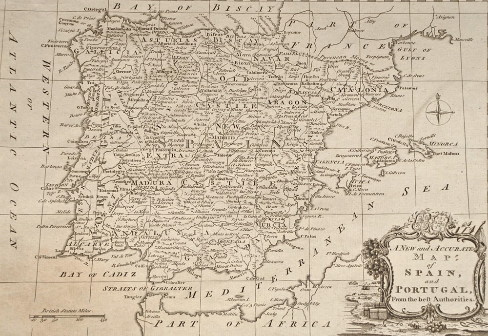
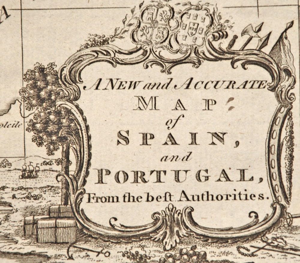
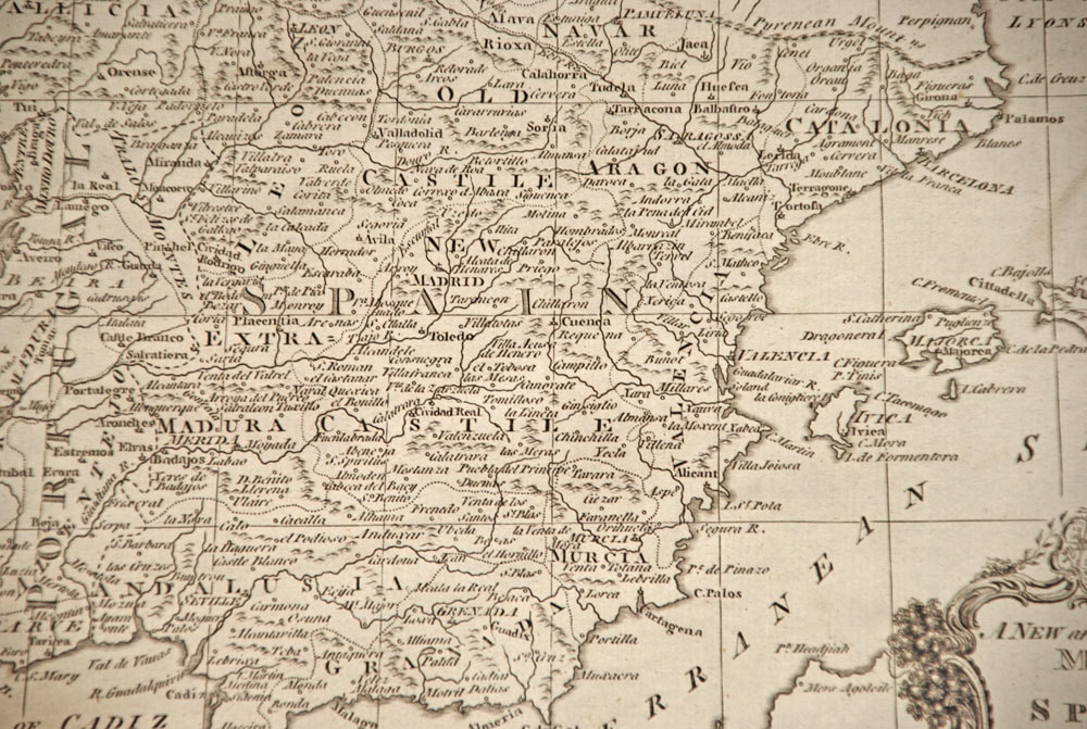
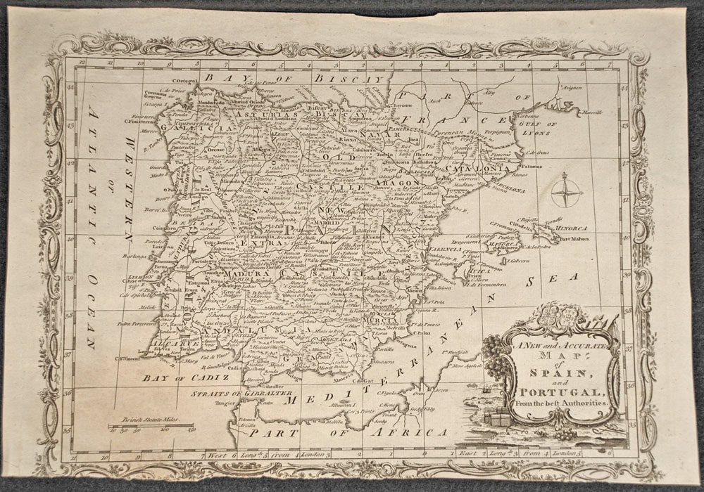
A New and Accurate Map of Spain and Portugal From the Best Authorities, c.1780
SKU:
B411
£34.99
£34.99
per item
18th Century British School
Printed by Alex Hogg, London for George Henry Millar's New, Complete and Universal System of Geography, c.1780
Engraving
Unmounted and unframed
In good condition (the lower margin is reduced), as illustrated
Sheet: 22 x 32 cm
Free delivery on all UK orders (postage to other locations will be added at checkout)
1 available